YorNight at the University of York Date: 26 September 2014 Time: 4 pm – 9 pm Location: St Martin’s Church, York, United Kingdom REAL members alongside University of York archaeologists Louise Iles and Daryl Stump and members of the The Archaeology of Agricultural Resilience in Eastern Africa (AAREA) project, researchers from the Environment Department; Phil Platts and […]
Quadcopter UAVs for photographic and video surveying
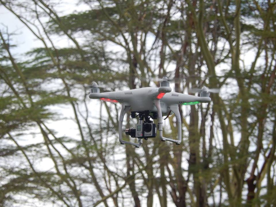
Below lists some information to be advised for the use of the quadcopter (with or without the camera attached) in the United Kingdom. Thanks to Dave Hay of the Environment Department, University of York, for help compiling this information for REAL members. Air Navigation rules in the United Kingdom Air Navigation: The Order and the […]
Generic Political Map of East Africa
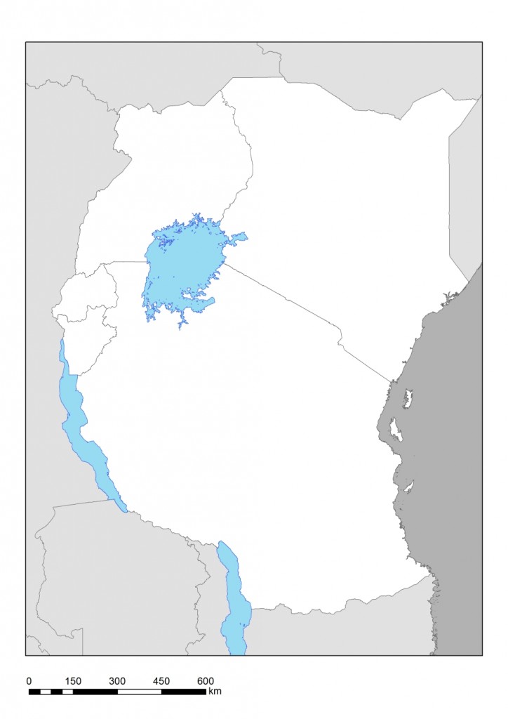
Here is a generic map of East Africa made by Nick Deere from KITE (University of York) that can be used as a study aid to label and take notes on. [TIF file] [JPG file]
Survey of Kenya visit
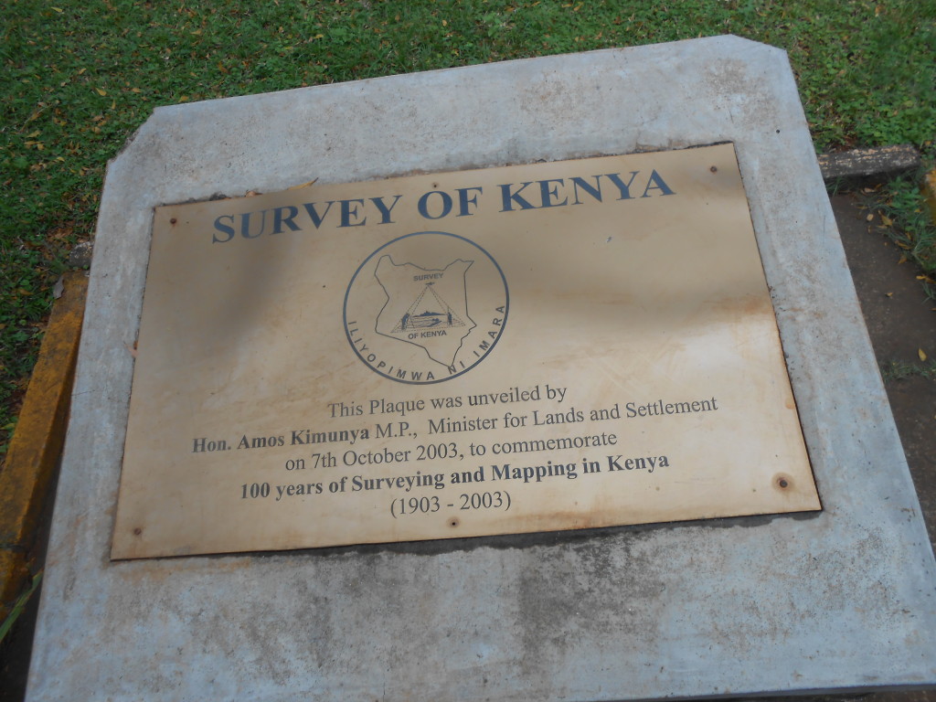
The Survey of Kenya, with headquarters in Nairobi, was involved in field mapping alongside the Directorate of Overseas Surveys and Directorate of Colonial Surveys during British colonial rule and remains the main centre of geospatial information in Kenya. The Survey maintains the air photography, maps, cadastrals and geospatial data of Kenya and is an important […]
Cartography and Map Resources
Free Maps Political map of East Africa. By Nick Deere (KITE) Mapping in Kenya Institutional Structure: Ministry: Ministry of Land, Housing and Urban Development Department of Surveys Legal: Survey Act (cap 299) This department implements the Government’s policy of sustainable exploitation of land and its natural resources. It is composed of five divisions namely; Geodetic […]
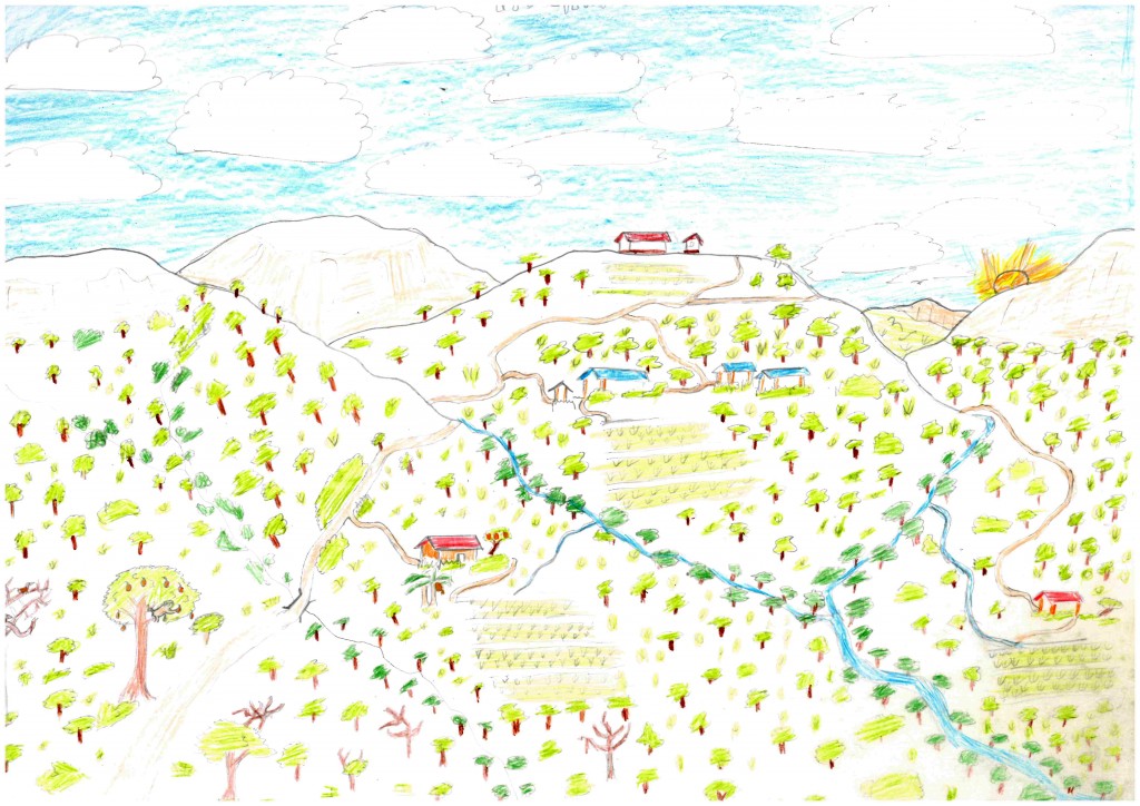
Amboseli fieldwork
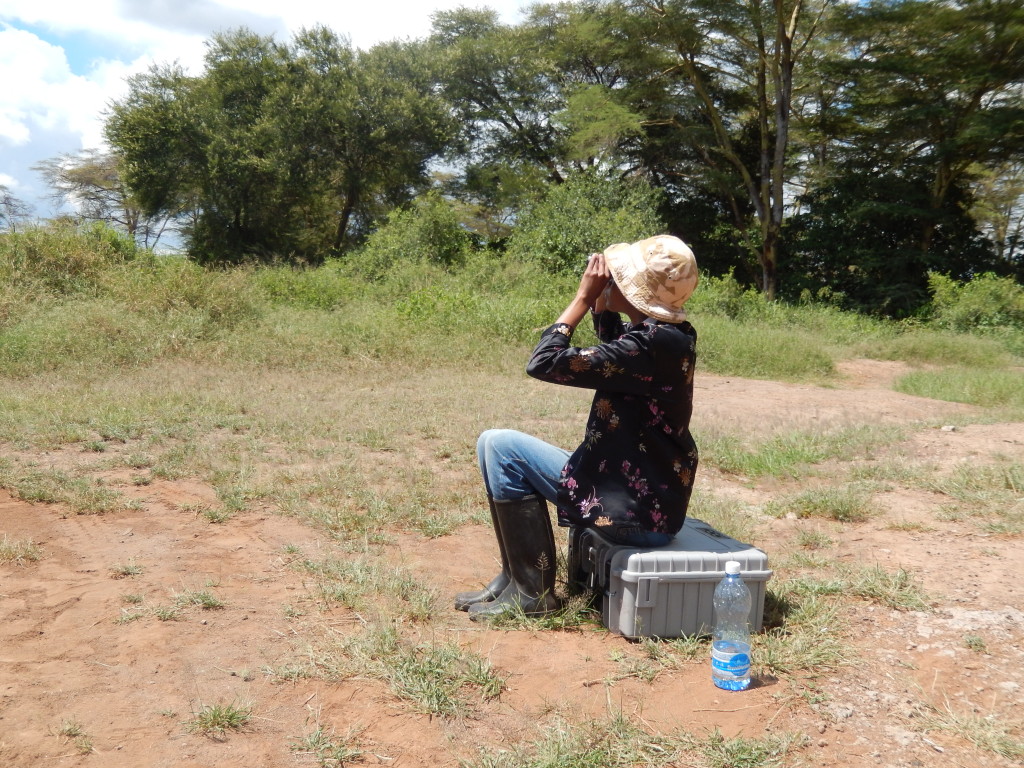
Assorted REALers accompanied Esther and Colin on their fieldwork trip to the Amboseli region. Two swamps were targeted for analysis, resulting in some beautiful cores and a ton of fun, all under the watchful eye of Mount Kilimanjaro. Further activities included mapping the sediment depth, taking pictures with the trusted Quad “Don’t land me in […]
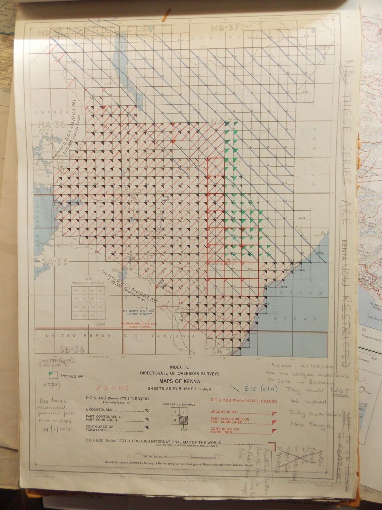
Accessing historical air photographs of Kenya
Most of the Colony of Kenya was photographed in the late 1940s, 1950s and 1960s, and used to compile the Kenyan topographic maps (scale 1:50 000; Series Y731). These maps show the locations of the air photographs and a copy of the photos are held by the Rhodes House of the Bodleian Libraries at the […]